|
Please be patient while the photos load - 69 photos will take a while. Click the photos to see enlarged versions. Click your back button to return to this page. Hold your mouse pointer on the photos to see captions.
Thanks to Bruce Swain, Christian Wesely and especially Bryan Smith for providing some of the photos used on this page.
|
Villarica |
 |
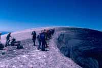 |
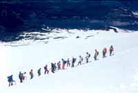
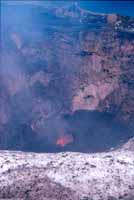
| The climb up the Villarica Volcano requires good weather, crampons and a guide. The views of the bubbling lava down in the depths of the crater can be spectacular. |
 |
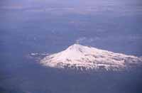
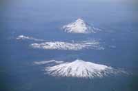
| In addition to the climb, you can do a three or four day walk across the Villarica National Park. The aerial photos below show Villarica and the area where the walk takes place. Photos courtesy of Christian Wesely. |
 |
 |
|
Puyuehue
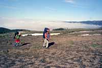
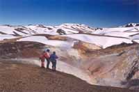
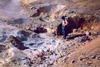
We can do two walks at Puyuehue, one to a set of thermal pools and geysers, another along the Gol Gol River in the valley below.
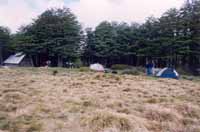
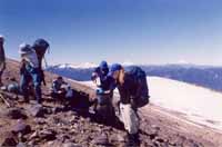
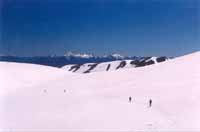
The walk to the thermal area begins with a climb of 1000 metres (horses can take your pack if you wish) followed by a camp in a meadow near some huts. The walk is normally open and clear in some places, covered in snow in others. |
 |
 |
 |
 |
|
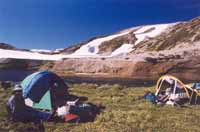
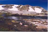
The nature of the campsite at the thermal pools varies greatly from year to year and from season to season. The two photos below were taken in early December, one year apart. |
 |
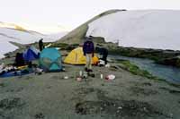 |
| Even when there is snow all around, the shallow waters of the thermal pools make a lovely place to relax before continuing on to the geysers and bubbling mud pools. |
 |
 |
 |
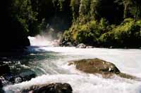 |
Back in the valley, the photo at the right is just one of several waterfalls we can visit on the valley walk, notable also for its flowers and birds.
|
|
Puerto Montt to El Chaltén
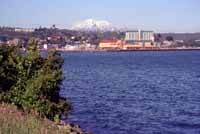
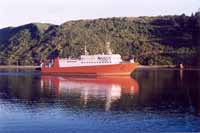
To continue any distance south of Puerto Mntt you need to take a boat. We catch a ferry to Chaitén, then use a mix of public and charter transport to visit a variety of places and do a number of short walks as we work out way south to the area near Fitzroy in Argentina. |
 |
 |
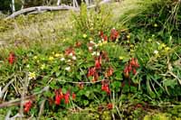
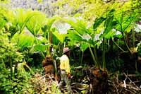
| Besides the big scenery, we take time to look at the wildflowers and other interesting plants. |
 |
 |
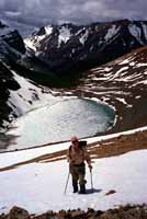
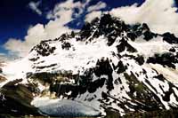
| We may do a long day walk at Cerro Castillo. |
 |
 |
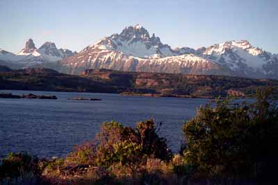
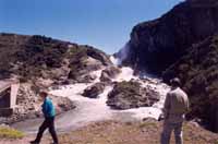
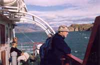
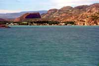
| We enjoy a variety of scenery as we work out way to Puerto Ibañez where we take a boat across Lake General Carrera/Buenos Aires to Chile Chico. |
 |
 |
 |
 |
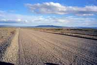
| Route 40 on the Argentina side of the border is a gravel road that seems to go on forever through an incredibly empty landscape. Empty? Not quite as the two photos below show. |
 |
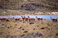 |
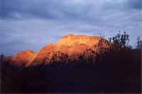 |
|
Los Glaciares and the Fitzroy Area |
On some trips we walk in Los Glaciares National Park and visit Fitzroy up close. On others we do a walk further north near Lago del Desierto. This walk takes briefly takes us back across the border into Chile.
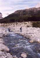
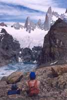
| The photo at the right and the two below were taken on the Lago del Desierto walk. The others in this section nearer to Fitzroy. Although the scenery on the Lago del Desierto walk is not as spectacular as the scenery closer to Fitzroy, there are far fewer people there which gives you more of a sense of being in the wilderness. |
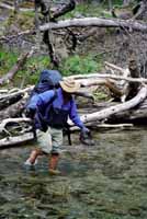 |
 |
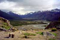 |
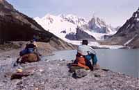
| We had very good weather on the trip when these photos were taken. On some trips we could barely see Cerro Torre through the mist. |
 |
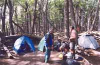 |
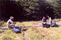
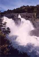
| The Lago Pingo track takes us through a mix of forest and open country, past one of the larger waterfalls in the park. |
 |
 |
 |
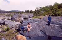 |
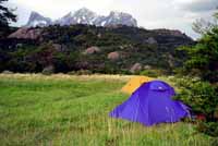
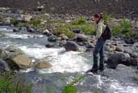
| Moving on past the Zapata campsite, we have to do a couple of creek crosings as we work our way toward the edge of the southern ice cap. |
 |
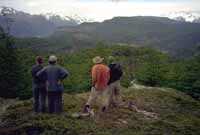 |
| Our 2002 group got right to the edge of the ice cap where they spent some time having a look at an ice cave. |
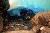 |
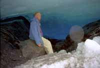 |
| Back near the start of the track, another short track leads to a spectacular viewpoint, very windy when we were there. Some of the animals are fairly accustomed to people and allow good photos. |
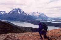 |
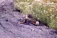 |
|
Navarino Island
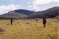
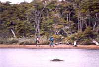
Navarino is a fairly large island, 100 km long and 40 km wide, south of the main island of Tierra del Fuego. This is the southernmost bushwalking in the world -- there is no bush further south. There is a 4 or 5 day marked trail which is becoming more and more popular. Our Navarino walks, however, take us far beyond the trail, through beech forest, across open tundra and, in some cases, onto the south coast. |
 |
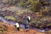 |
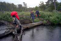
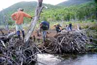
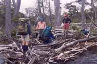
| We cross many creeks. Some crossings are easier than others. Introduced North American beavers have cut down most of the trees within easy reach of the major creeks. |
 |
 |
| Some of the walking is easy and some less so. |
 |
 |
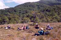
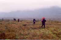
| The weather is highly variable so we will almost certainly have a mix of fine and not so fine weather. |
 |
 |
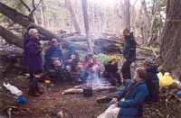
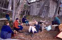
| Many of our camp sites are in the forest; some are in open areas and one is next to the southernmost bushwalking hut in the world. |
 |
 |
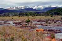
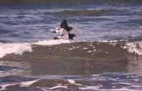
| When the weather and wildlife cooperate, you get great views. |
 |
 |
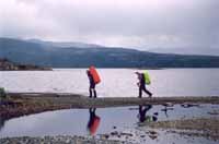
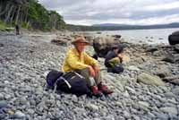
| A walk along Lake Windhond followed by a few km cross country beings us to the edge of the southern ocean. |
 |
 |
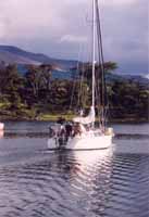
| We'll leave Navarino and Patagonia on a boat bound for the city of Ushuaia in the Argentine part of Tierra del Fuego. |
 |
